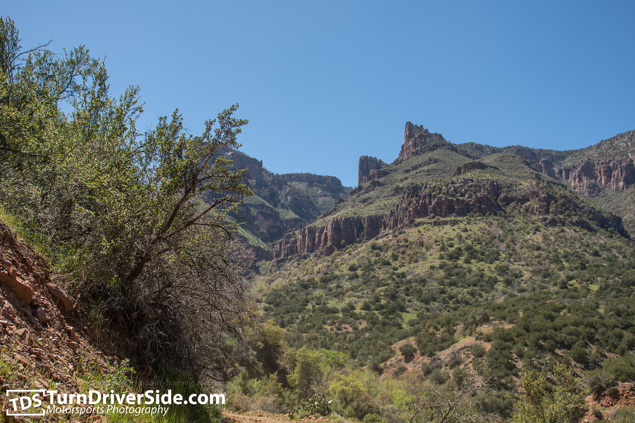
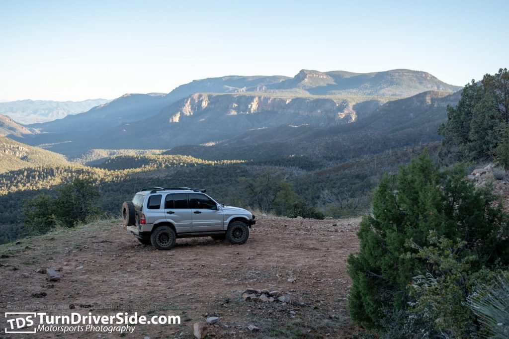
This is by far one of the most scenic places in Arizona. You don’t often get to see these types of views, visit Indian Ruins from 700+ years ago and get to enjoy a number of running creek crossings in one day.

The day started off just south of Roosevelt Lake, at the bridge that crosses the Salt River, from there we continued up State Route 288 until we jumped on Cherry Creek Road or FR 203. There was no rush to finish the trail so we jumped on FR38 and then FR1076 to check out the Coon Creek Ruins left over from the Salado Indians.
Coon Creek Ruins
It’s incredible that places like this are still around, and getting to witness first hand the places these ancient civilizations lived in, and the types of views these people had before any Europeans arrived on the continent. It’s just a shame that these places get destroyed so quickly once the masses start coming.
Forest Road 38 and Forest Road 1076 were in a descend shape, they had some washouts but were drivable in a stock samurai.
Sierra Ancha Wilderness
The road to Devil’s Chasm parking lot was in a fairly descend shape, we passed a number of farmers towing cattle and horses, it looks like it’s regularly maintained by them. We had lunch at the parking lot people typically use to hike up Devil’s Chasm, and from there we continued up Forest Road 203.
Cherry Creek Trail
I would consider the official start of the Cherry Creek Trail after the Devil’s Chasm parking lot, because that’s when the lack of maintenance truly showed. The trail wasn’t in a terrible condition, but it definitely hasn’t been maintained recently and trees were overgrowing FR203, pinstriping wasn’t an option – it was going to happen.

We crossed a number of creeks, most of the ones closer to the Sierra Ancha Wilderness were still running, which was a treat, considering we don’t often see running water in Arizona.
The trailed continued to be a bumpy road with some more overgrown sections, all the way through, but we didn’t mind because of the overwhelming scenery surrounding us.
Gold Creek Washout
Things to a turn for the.. interesting(?) at the Gold Creek crossing. The trail looks like it was washed out heavily post one of the fires that happened in the area, possibly after the Juniper fire. The road was heavily undercut by the water, although most the cars were fairly narrow and had more than enough room to pass, it still seemed a little too close to our comfort zones.
Once we got past Gold Creek, the rest of Cherry Creek Trail was a breeze, granted, it wasn’t a smooth road, but the views of the Sierra Anchas and the mountains surrounding us kept us well entertained.

PB Ranch
Unfortunately we didn’t get to stop by PB Ranch, I managed to pass it without seeing it on my GPS app, but another person did go down the road to find a couple camping by it, so we didn’t want to disturb them.
Cherry Creek Trail – Arizona’s Hidden Treasure
It took us about 9 hours to finish the Cherry Creek Trail with an additional stop at the Coon Creek Ruins. If we just did FR203 alone, we probably could have finished it within 6 hours or so, but the additional stop was worth it. The trail was in a good enough shape, the views surrounding us were one of a kind, nothing like what I’ve seen in Arizona before, and I can’t wait to head back there and explore the side roads.
Cherry Creek Hyperlapse
I filmed a hyperlapse of the entire trail if you’d like to check it out, if you don’t like the music or the motion is making you sick, first mute the music, and then click the settings icon to change the speed of the video. You’ll be able to see a lot more detail that way.
Pictures & Videos
There are a plenty more pictures available as well a videos, you can see those in our gallery – https://www.turndriver.com/Off-Roading/Cherry-Creek-FR-203-Coon-Creek-Ruins/
Prices start at $10 for prints, and $40 for downloads.


